VMG News
Poster in IEEE VIS2015
Our poster Where Can I Go From Here? Drawing Contextual Navigation Maps of the London Underground was presented in IEEE VIS2015 held in Chicago, IL. You can have a look at the accepted papers, news and updates from the symposium at VIS2015.
Video Preview
Abstract
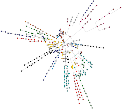
Network administrators often wish to ascertain where network attackers are located; therefore it would be useful to display the network map from the context of either the attacker’s potential location or the attacked host. As part of a bigger project we are investigating how to best visualize contextual network data. We use a dataset of station adjacencies with journey times as edge weights, to explore which visualization design is most suitable, and also ascertain the best network shortest-path metric. This short paper presents our initial findings, and a visualization for Contextual Navigation using circular, centered-phylogram projections of the network. Our visualizations are interactive allowing users to explore different scenarios and observe relative distances in the data.